Backpacking Mount Algonquin Peak
Table of Contents
Starting from the bustling trailhead at Adirondack Loj, we faced the challenges of rugged terrain, steep climbs, and unexpected twists. With breathtaking views at Marcy Dam, the formidable ascent up Mount Algonquin, and the serene yet challenging detour around Avalanche Lake, this hike tested our limits but rewarded us with unforgettable moments. Join me as I recount this epic journey through one of New York's most iconic landscapes.
Highlights
Marcy Dam: Great views of Mount Colden and a good place to camp if you want to break up your hike.
Avalanche Lake: The trail around the lake is an adventure in itself with narrow boardwalks, ladders and evidence of past avalanches.
Mount Algonquin: Steep and tough with a boulder scramble that will test your endurance but the views from the top are worth it.
Water: Water can be scarce at higher elevations so plan accordingly and bring a good filter.
Camping: Tent camping is tough so consider bringing a hammock for more flexibility in campsite selection.
7.5 Hour Drive and Arrival
After a long 7.5 hour drive we finally arrived at the Adirondack Loj, a popular starting point for many of the High Peaks. The Loj has a rich history, established by the Adirondack Mountain Club in the 1920s as a gateway to these mountains. When we arrived the parking lot was full, no surprise, but we managed to squeeze our truck into the last spot. We arrived in the afternoon and it was hot and dry in mid-July. But we were excited to start our hike and the long drive was forgotten.
Marcy Dam: A Historical and Scenic Stop
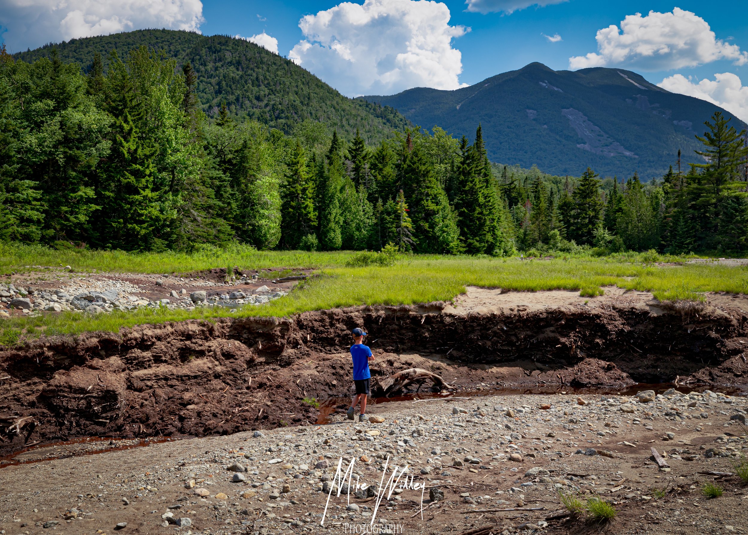
The first part of the trail leads to Marcy Dam, a spot with history and scenery. Marcy Dam was built in the 1930s by the Civilian Conservation Corps as a flood control measure. Although the dam was partially destroyed by Hurricane Irene in 2011 the area is still a popular stop for hikers with great views of Mount Colden and the surrounding peaks. As you approach Marcy Dam the sound of the water gets louder and the view that greets you—mountains reflected in the calm water—is amazing. There are several campsites around Marcy Dam so it’s a great place to stop but we decided to keep moving to cover more miles.
Decision to Push On: Avalanche Pass Trail
After Marcy Dam we continued on the Avalanche Pass Trail for a little over a mile until we reached the trail split with the Lake Arnold Trail. The elevation gain was immediate and steep, 200 feet per tenth of a mile. I was already getting heat exhaustion. This part of the trail is a reminder that the Adirondacks are not to be trifled with—what looks like a easy climb on the map is a brutal reality on the ground. We debated whether to keep going or turn back and decided to head back to the campsites at the trail split.
Setting Up Camp: Finding a Spot
Setting up camp was harder than expected. While there are some nice campsites near the river split, finding a flat spot for a tent was tough. The area is dense with underbrush and the ground is rocky and sloped. I had a hammock so I was good to go but my hiking buddy had a tent and struggled to find a decent spot. It took us over an hour to find a spot that was “good enough” but it was far from ideal, on a slope with rocks underneath. Fires are not allowed in this area so we had to make do with what we had.
Adjusting Plans: The Adirondacks Are Bigger Than They Look
After setting up camp we quickly realized our original plan—to take the Lake Arnold Trail to the summits of several peaks including Mount Marcy—was too ambitious. The Adirondack Mountains are much bigger and more difficult than they look on the map. To get a good payoff we decided to change our route and climb the back side of Mount Algonquin. We did this partly out of necessity since we were already in the area and the trail was so close to the summit. The Adirondacks had already humbled us and we knew better than to push our luck further.
The Big Climb: Avalanche Lake and Mount Algonquin
Our new route took us around Avalanche Lake, a place I had hiked with my son in the winter. Seeing it in the summer was a whole different experience. Avalanche Lake is famous for the scars of past avalanches with massive boulders and trees scattered about like matchsticks. The trail around the lake is an adventure in itself with narrow boardwalks clinging to cliff faces, ladders and obstacles that require a lot of energy and agility. It’s exhilarating and a little nerve wracking especially since this area has seen its share of natural disasters.
The climb up the back side of Mount Algonquin was one of the toughest physical challenges I’ve ever faced. The trail is a boulder scramble for over a mile with an elevation gain of 2,500 feet in 1.75 miles. We followed a stream the whole way which was a blessing. The stream had clear cold water and was a lifesaver. We could refill our water bottles and cool off in the larger pools. The sound of the water rushing down was soothing and motivating as we pressed on.
The Summit and Down: A Slog
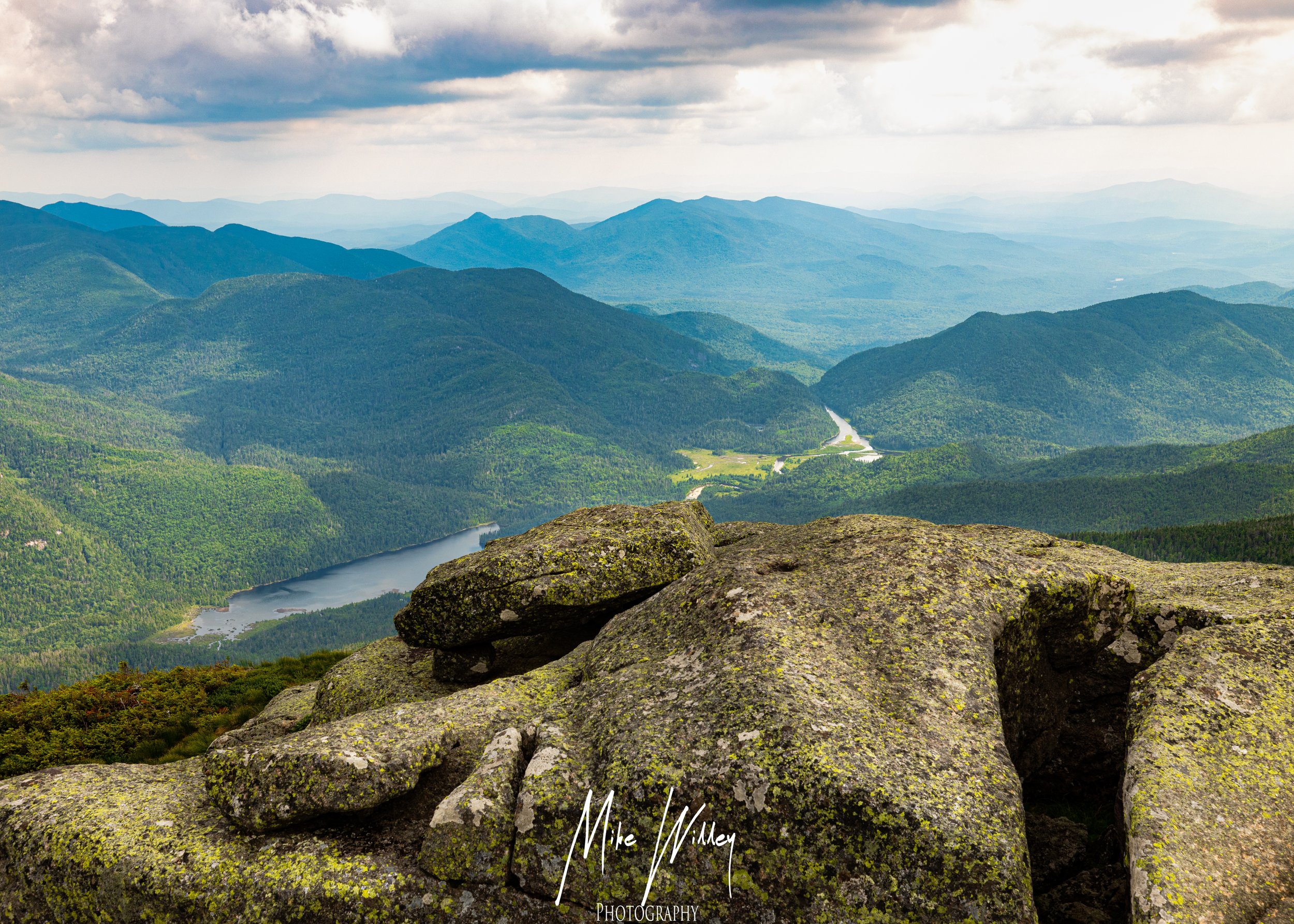
As we climbed higher the trees got shorter and shorter until we finally broke through the tree line. The view was breathtaking—an endless sea of mountains as far as the eye could see. But we weren’t done yet. The trail continued over bare rock with only small bushes clinging to life in the cracks. Each step brought us closer to the summit but the false summits played tricks on our minds. Just when we thought we were at the top another rise would appear in the distance.
Finally we reached the summit of Mount Algonquin where a survey marker awaited us and panoramic views for miles and miles. It was worth the struggle. We had decent cell service so we could text our friends and family back home.
The descent back to our camp was just as tough as the climb especially since we were racing against the sun. The boulder scramble we had navigated so carefully on the way up was now a test of balance and coordination as we rushed to beat the dark. We got back to camp just after sunset, tired but thrilled.
The Next Morning: Wrap Up
We woke up to fog and dampness. The excitement of the previous day’s hike had worn off and we were left with a sense of accomplishment and a strong desire to go home. We quickly packed up camp, ate a quick breakfast of dehydrated meals and hit the trail. We hiked over 20 miles and gained 7,800 feet of elevation. This is not a hike for the faint of heart but the rewards are well worth it. The Adirondacks are tough but they are like nowhere else.
Q&A
Q: How tough is the hike up Mount Algonquin? A: This is one of the tougher climbs in the Adirondacks with steep elevation gain and a boulder scramble that will test your body and mind.
Q: What should I bring? A: Bring lots of water, a good map, a good headlamp and gear for changing weather. A hammock may be more practical than a tent due to the rocky terrain.
Q: Is there cell service on the hike? A: Yes, there is decent cell service at the top of Mount Algonquin but always be prepared for no service in the wilderness.
Q: Are there campsites along the trail? A: Yes, there are several campsites along the trail, near Marcy Dam and at the Lake Arnold/Avalanche Pass split. But finding a flat spot for a tent can be tough.
Q: What’s the best time to hike in the Adirondacks? A: Summer has great scenery and tough hikes, winter has a unique snow landscape. Be prepared for what you choose to hike in.


